El huracán "Earl" amenaza la costa este de EE.UU.
-
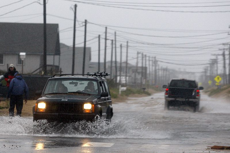
Cars pass along a flooded beach road during Hurricane Earl in Kill Devil Hills, North Carolina
03.09.2010Cars pass along a flooded beach road during Hurricane Earl in Kill Devil Hills, North Carolina September 3, 2010. REUTERS/Richard Clement (UNITED STATES - Tags: DISASTER ENVIRONMENT)REUTERS/Richard Clement -

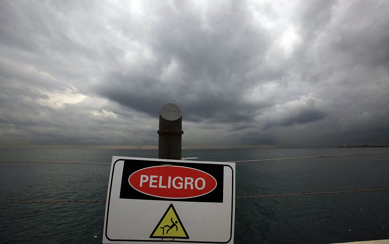
DECLARAN ALERTA ROJA EN REPÚBLICA DOMINICANA POR LLEGADA DEL HURACÁN "EARL"
03.09.2010STO03. SANTO DOMINGO (REPÚBLICA DOMINICANA), 31/08/2010.- Vista del cielo cubierto hoy, martes 31 de agosto de 2010, en el malecón de Santo Domingo (República Dominicana). La Comisión de Emergencia Dominicana, declaró en alerta roja varias zonas del país, ante la cercanía del huracán "Earl" de categoría 4, el cual azotó varias islas del Caribe. EFE/Orlando BarríaEFE/Orlando Barría -
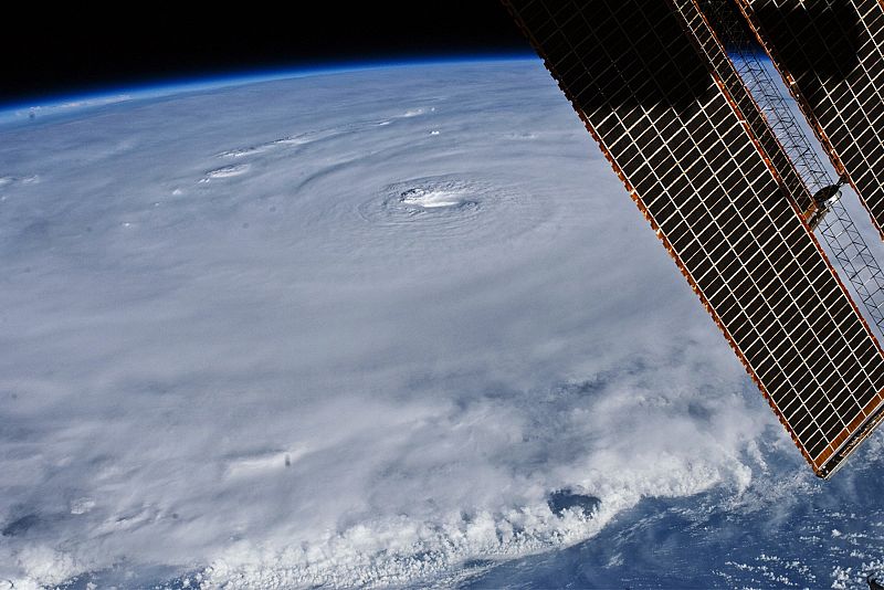
NASA handout image of Hurricane Earl
03.09.2010The eye of Hurricane Earl's is seen in this photo taken from the International Space Station August 30, 2010. At the time Earl was centered just north of the Virgin Islands. Hurricane Earl strengthened on September 1, churning up dangerous swells, forcing evacuations on some of North Carolina's barrier islands and prompting storm alerts along much of the U.S. East Coast. Picture taken August 30, 2010. REUTERS/NASA/Handout (UNITED STATES - Tags: ENVIRONMENT SOCIETY IMAGES OF THE DAY) FOR EDITORIAL USE ONLY. NOT FOR SALE FOR MARKETING OR ADVERTISING CAMPAIGNS. THIS IMAGE HAS BEEN SUPPLIED BY A THIRD PARTY. IT IS DISTRIBUTED, EXACTLY AS RECEIVED BY REUTERS, AS A SERVICE TO CLIENTSREUTERS/NASA/Handout
Últimas fotogalerías Noticias
Ver más


